Rhode Island lightning map
Rhode Island's thunderstorms concentrate in summer afternoons, often along cold fronts and sea-breeze boundaries near Narragansett Bay.
Checking…
Detected from NOAA GOES-19 GLM satellite data. Aggregate count for Rhode Island — your exact location and alerts live in the app.
About lightning in Rhode Island
Rhode Island’s small footprint sees summer afternoon thunderstorms shaped by sea breezes off Narragansett Bay and the Atlantic, plus passing cold fronts. Storms can develop and move quickly across the coastal state. The active season runs June through August. Because they often strike from the leading edge, knowing how close the nearest flash is — and whether it is approaching — is the safer guide.
- Thunderstorm days/yr
- 22
- US rank
- #41 of 50
- Peak season
- June–August
State thunderstorm-day normals are provisional (NOAA/NWS); per-city climate data is shown where a station normal is published.
Cities in Rhode Island
Lightning safety in Rhode Island
When storms build across Rhode Island, the distance to the nearest strike matters more than a statewide count. Follow the 30-30 rule: if thunder follows lightning by 30 seconds or less, get indoors, and wait 30 minutes after the last thunder before heading back out. If you can hear thunder, you are already close enough to be struck. StrikeCast surfaces the live distance and trend so you can act before the storm reaches you.
StrikeCast app
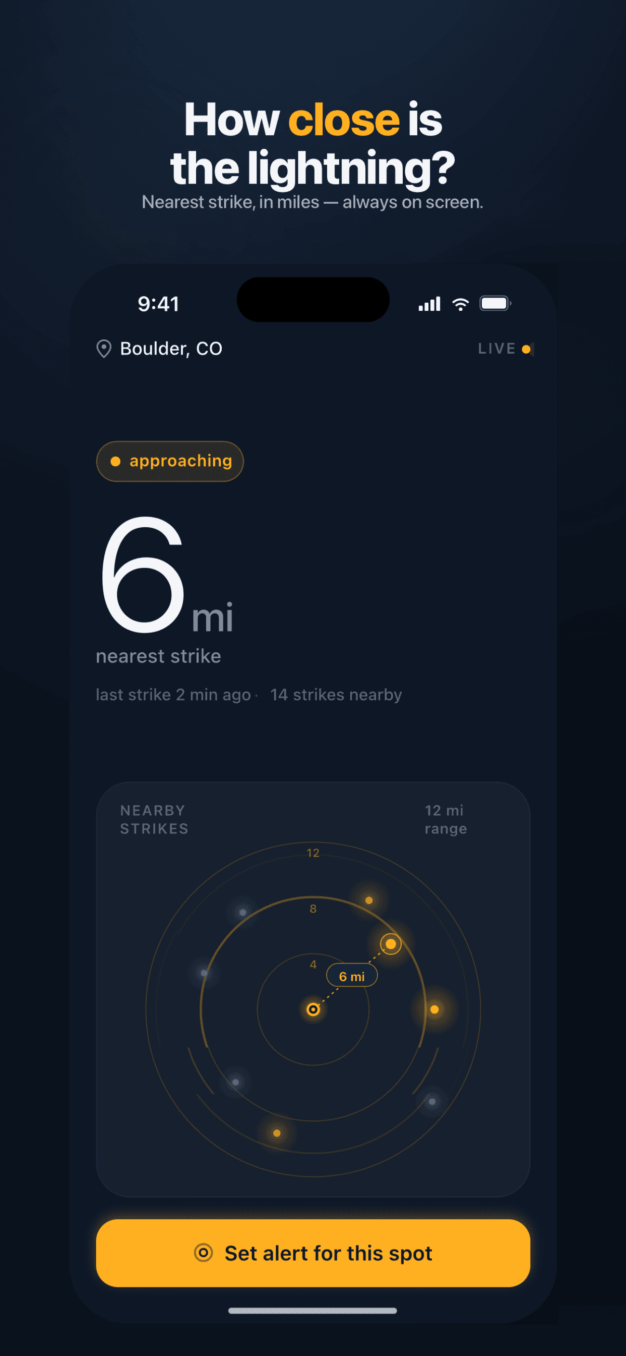
Distance, trend & alerts — in your pocket.
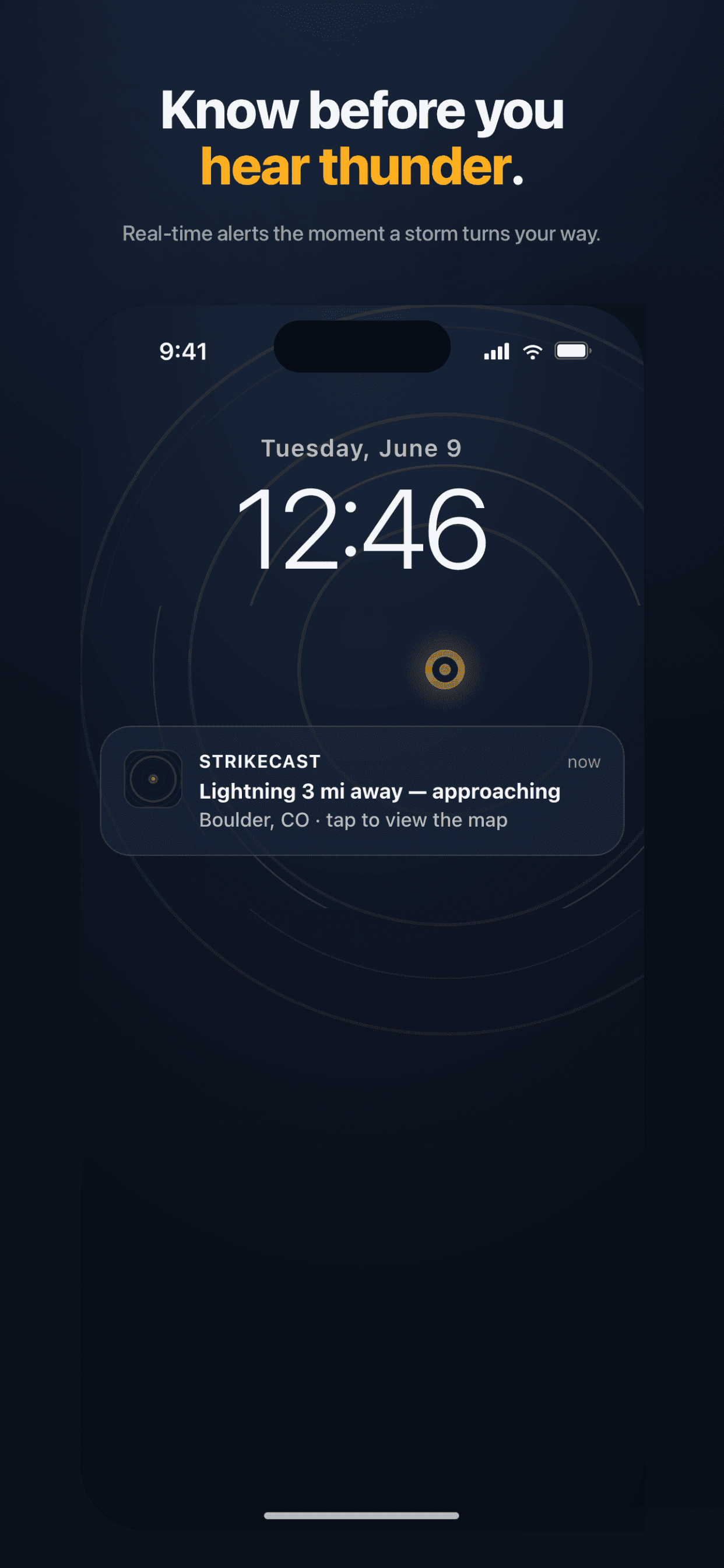
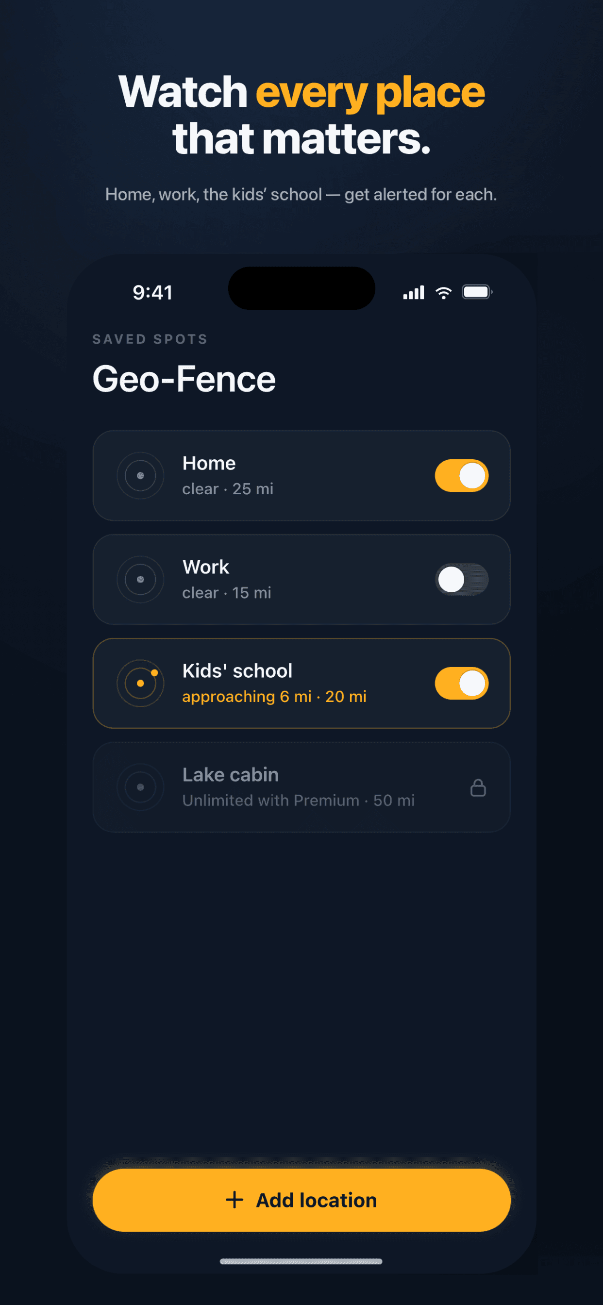
GPS-precise distance to the nearest strike, live approaching/moving-away trend, and push alerts for every place that matters across Rhode Island — home, work, the kids' school.
Your exact location stays on your device. Never shared. Never tracked.
Lightning guides
Frequently asked
How many thunderstorm days does Rhode Island get?
Rhode Island averages about 22 thunderstorm days a year, versus a US average near 25 — roughly 0.9× the national norm. Activity peaks June–August.
Where does Rhode Island rank for lightning in the US?
By mean annual thunderstorm days, Rhode Island ranks #41 of 50 states. Rankings use NOAA/NWS climate normals; the live distance and trend on this page come from NOAA GOES-19 satellite data.
When is thunderstorm season in Rhode Island?
Lightning is most frequent June–August in Rhode Island.
How does StrikeCast track lightning in Rhode Island?
StrikeCast reads NOAA GOES-19 GLM (Geostationary Lightning Mapper) satellite data, updated continuously, to show how far away the nearest strike is and whether it is approaching or moving away. Save any place in Rhode Island in the free app to get a push alert when lightning closes in.